
| Above: Tropical Cyclone Idai as seen by the MODIS instrument on NASA's Aqua satellite on Wednesday afternoon, March 13, 2019. At the time, Idai was a Category 2 storm with 105 mph winds. Image credit: NASA. |
Extremely dangerous Tropical Cyclone Idai is expected to make landfall Thursday afternoon (U.S. EDT) near Beira, Mozambique as a Category 2 or 3 storm. Flooding from Idai has already killed 111 people in Mozambique and Malawi, making it Earth’s deadliest weather disaster of 2019. Idai is likely to bring Mozambique highly destructive winds, heavy rains in excess of two feet, and a storm tide of up to 20 feet.
The disturbance that developed into Idai originated in Mozambique earlier in March, when it caused flooding in northern parts of the country and in neighboring southern Malawi. At least 66 were killed by flooding in Mozambique and another 45 lost their lives in Malawi, with the death toll likely to rise, according to ReliefWeb. This makes Idai the deadliest weather disaster so far in 2019, ahead of the 80 people killed in January flooding in Indonesia, according to statistics from insurance broker Aon. The floods have displaced 93,000 people and injured 688 people. Idai's outer rain bands dumped 14.25” of rain on Besalampy in northwestern Madagascar on March 9 – 11, but no deaths have been blamed on the storm there.
Ominous-looking microwave pass from 3-4 hours ago shows a strong, new, large eyewall that will likely gradually contract over the next 24 hours. Could be fierce-looking tomorrow. pic.twitter.com/OP9pzRTq6D
— Levi Cowan (@TropicalTidbits) March 13, 2019
As of the 10 am EDT Wednesday advisory from the Joint Typhoon Warning Center (JTWC), Idai was a Category 2 storm with 105 mph winds, headed west at 6 mph. Idai was under low wind shear of 5 – 10 knots, and over warm waters with sea surface temperatures of 29 – 30°C (84 -86°F)--conditions favorable for strengthening. However, the storm had wrapped dry air from continental Africa into its core, which was interfering with development. Idai completed an eyewall replacement cycle on Tuesday, and I expect that the storm will be able to flush out the dry air and re-intensify. The agency issuing the official forecasts for the South Indian Ocean, RSMC-La Reunion, calls for Idai to intensify by 25 mph in 24 hours, becoming a Category 3 storm with 120 – 125 mph winds just before landfall. The latest JTWC forecast calls for slow weakening until landfall, though. Landfall is expected between 18Z – 22Z Thursday near Mozambique's fourth largest city, Beira (population 530,000).
 |
| Figure 1. The eye of Idai as seen on March 11, 2019, by the Landsat satellite. Image credit: youstormorg. |
A huge threat from Idai is likely to be heavy rains, since the storm is moving slowly and will dump over a foot of rain over regions that are already saturated. Idai’s heaviest rains may exceed two feet near and inland from the landfall location near Beira, according to recent runs of the HWRF model. The regions of northern Mozambique and southern Malawi that Idai flooded last week will likely see rains under an inch, fortunately.
 |
| Figure 2. Predicted surface winds (colors) at 21Z (5 pm EDT) Thursday, March 14, 2019, from the 6Z Wednesday run of the HWRF model. The model predicted that Tropical Cyclone Idai would be a Category 2 storm with 105 mph winds, making landfall near Beira, Mozambique. Image credit: tropicaltidbits.com. |
A storm tide of up to 20 feet predicted
Coastal areas near and south of where the center makes landfall could be inundated with a storm surge of 3 meters (10 feet), according to the 12Z Wednesday forecast from RSMC-La Reunion. The difference between high tide and low tide on Thursday is about 6 feet (2 meters), so it matters greatly if the storm hits at low tide or at high tide. Tide tables for Beira show high tide occurring near 1930Z Thursday, with low tide occurring near 0130Z Friday.
Fortunately, Idai is hitting during some of the lowest tides of the month. If Idai hits at high tide on Thursday with a 7-foot storm surge, the water levels at Beira will be near what the normal highest tide of the month would bring (high tide on March 21, near the time of the full moon, will be about 7 feet higher than high tide on March 14). RSMC-La Reunion is warning that if Idai hits just north of Beira, as currently forecast, the city can expect a storm surge of 13 feet (4 meters), with a much higher storm surge of 23 - 26 feet (7 - 8 meters) at the mouth of the Pungwe River, which forms the western boundary of the city. The bay that the river flows into is funnel-shaped and shallow, which will allow a huge storm surge to build up if the dangerous southern portion of the eyewall moves over. The maximum storm tide (height of the water above the normal high tide mark) would be about 6 feet lower, around 17 – 20 feet (5 – 6 meters), since Beira is hitting during some of the lowest tides of the month. Even so, if Idai hits at high tide just north of Beira at Category 3 strength, the storm tide could be catastrophic with high loss of life if evacuations are not done.
According to Chemane et al., 1997, Vulnerability of coastal resources to climate changes in Mozambique: a call for integrated coastal zone management, Beira is the most vulnerable city in the country to sea level rise and storm surges. A sea level rise of 1 meter will flood 40% of the town (42.5 square km), including the port and the airport. Beira’s port is the second busiest in the nation, and has long been a major trade point for exports coming in and out of Zimbabwe, Malawi, Zambia and other Southern African nations. According to a January article in Aljazeera.com, Beira is steadily sinking, and portions of the city now lie below sea level.
An active South Indian Ocean tropical cyclone season for major storms
According to the CSU Tropical Meteorology Project, the South Indian Ocean has seen 11 named storms, 8 hurricanes, and 7 major hurricanes during the 2018 – 2019 tropical cyclone season. An average season has 13 named storms, 7 hurricanes, and 3 major hurricanes by this point in the season. The most major hurricanes on record in one season was 9, set in 1980.
 |
| Figure 3. Tracks of the three major hurricanes that have hit Mozambique in NOAA’s historical hurricanes database—Eline, Favio, and Jokwe—along with the tracks of the nation’s deadliest tropical cyclone (Nadia, 240 killed) and their most damaging storm (Domoina, $185 million in damage). |
Mozambique tropical cyclone history
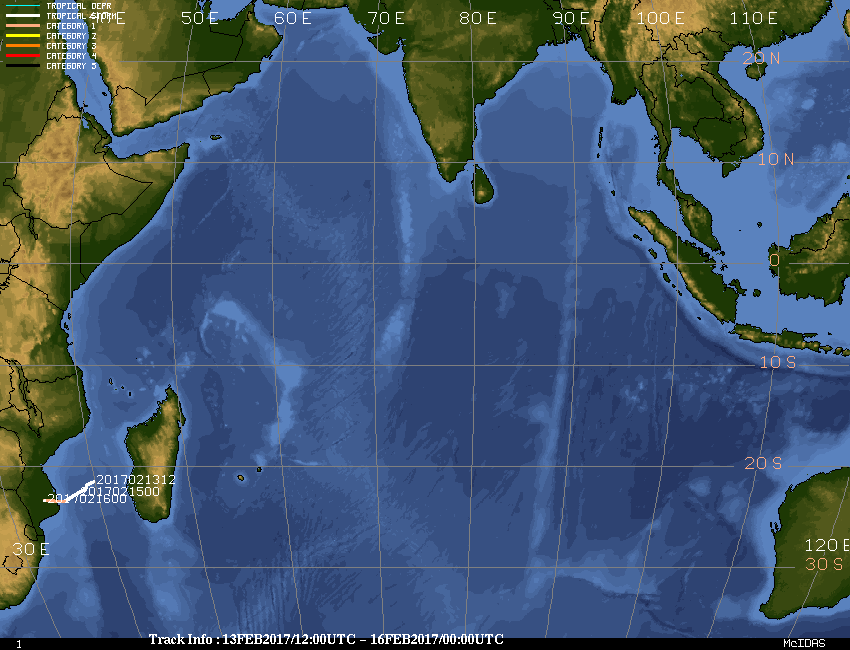
NOAA’s historical hurricanes database lists ten tropical cyclones of hurricane strength and ten tropical storms that have hit Mozambique since 1934. Many storms that hit before the advent of reliable satellite imagery in the Indian Ocean in the early 1990s were likely missed, though. The strongest landfalling storm was Tropical Cyclone Eline, which hit southern Mozambique as a Category 4 storm with 130 mph winds on February 22, 2000. The only other major tropical cyclones to hit were Favio of 2007 (Category 3, 115 mph winds) and Jokwe of 2008 (Category 3, 115 mph winds). The last tropical cyclone to make landfall in Mozambique as a Category 1 or stronger storm was Dineo in mid-February 2017.
 |
| Figure 4. A Mozambican family stranded on a small island in the Save River wait for rescue after the February 23, 2000 landfall of Category 4 Tropical Cyclone Eline, the strongest storm on record to hit Mozambique. Image credit: YOAV LEMMER/AFP/Getty Images. |
Highly destructive tropical cyclones are rare in Mozambique. According to EM-DAT, the international disaster database, the country’s most expensive storm was Tropical Cyclone Domoina, which made landfall in southern Mozambique near Inhambane as a tropical storm with 65 mph winds on January 28, 1984. Domoina killed 109 people and did $185 million (2019 dollars) in damage. Mozambique’s deadliest storm was Tropical Cyclone Nadia, which made landfall in northern Mozambique on March 24, 1994, as a Category 1 storm with 85 mph winds. Nadia killed 240 people.


